MLD for Transport

Location data for transportation & mobility studies

Leverage Quadrant’s mobile location data to study mobility patterns to build robust urban planning strategy, smart cities, and efficient transportation systems.

Transportation & smart cities

Location data is an extremely valuable asset for the transportation and urban planning industry. It can help optimize traffic, improve public transportation, manage energy consumption, improve emergency response, and plan cities more efficiently.

Government administrations and urban planners use location data to improve public transit systems, build smarter cities, manage traffic and gauge the ROI of investments into public spaces to maximise the usage of resources.. Private transportation and logistics businesses use mobility intelligence to improve their services and boost profits. Location data has proven extremely valuable for transit management post-pandemic as organizations all over the globe strive to understand changing human behaviour and modify their offerings to meet consumer needs. In addition, researchers and development banks have been using location data to highlight social inequalities and build solutions for welfare, such as disaster response, accessible transportation etc.

Use-cases and applications

Consistent monitoring of mobility patterns helps government and private organizations improve people's lives in myriad ways. By analyzing raw location data, cities can identify areas that require development and investment and services that are underutilized or need to be revitalized. 
bus

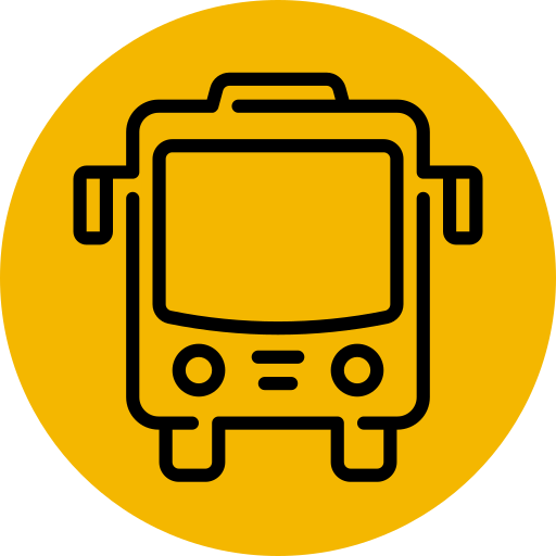
Optimise public transport

Assess demands based on population saturation to improve availability and consumption of public transport.

distance

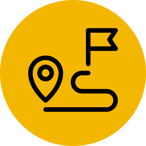
Power ridesharing operations

Predict passenger movement based on historical data and density frequency and inform pricing models to boost profits.

public transport

Improve traffic systems

Monitor vehicular & crowd movement to avoid congestion, control traffic, manage peak hours & enable public safety.

smart city

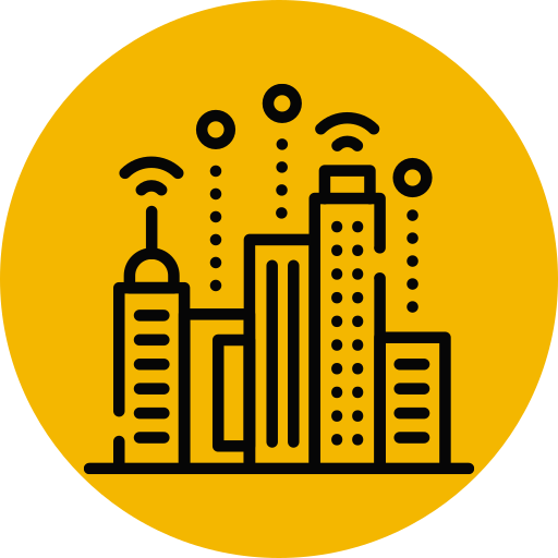
Build smarter cities

Study the usage of public transit facilities and help local administrations provide better services to citizens.

equal

Address social inequalities

Assess availability of transportation modes in underprivileged areas and build solutions to bridge gaps in public transit.

disaster

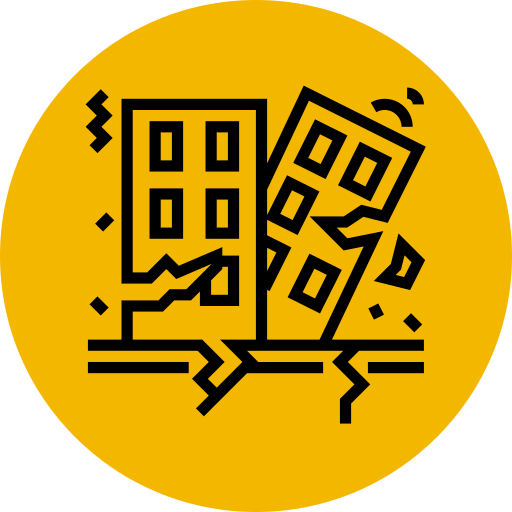
Improve disaster response

Study and monitor mobility in disaster prone areas to formulate and implement faster response and evacuation plans.

Why choose Quadrant

Mobility intelligence platforms, transportation applications, researchers, urban planners and governments choose Quadrant’s mobile location data to understand how the world moves and monitor mobility trends and patterns to optimise their product offerings and public services.

High-quality mobile location data from 750+ million devices across 219 countries with 50+ billion daily mobile data events.

Our location-based business solutions are fit for purpose, authentic, easy to use, and simple to organise. Perform sophisticated analyses and derive actionable intelligence for your critical business decisions.

Innovate Mobility Case Study Thumbnail

You might also like

Case study: Improving post-pandemic public transit in Fairfield, California

Discover how Innovate Mobility's public transport experts utilized Quadrant's mobile location data to enhance public transit in Fairfield, California, after the pandemic. Their efforts resulted in securing a substantial $1 million grant.

Subscribe to our newsletter

Join our community of 60,000+ active subscribers and stay ahead of the game! Our monthly newsletter provides exclusive insights into the geospatial world, featuring the latest trends, case studies, and cutting-edge innovations.