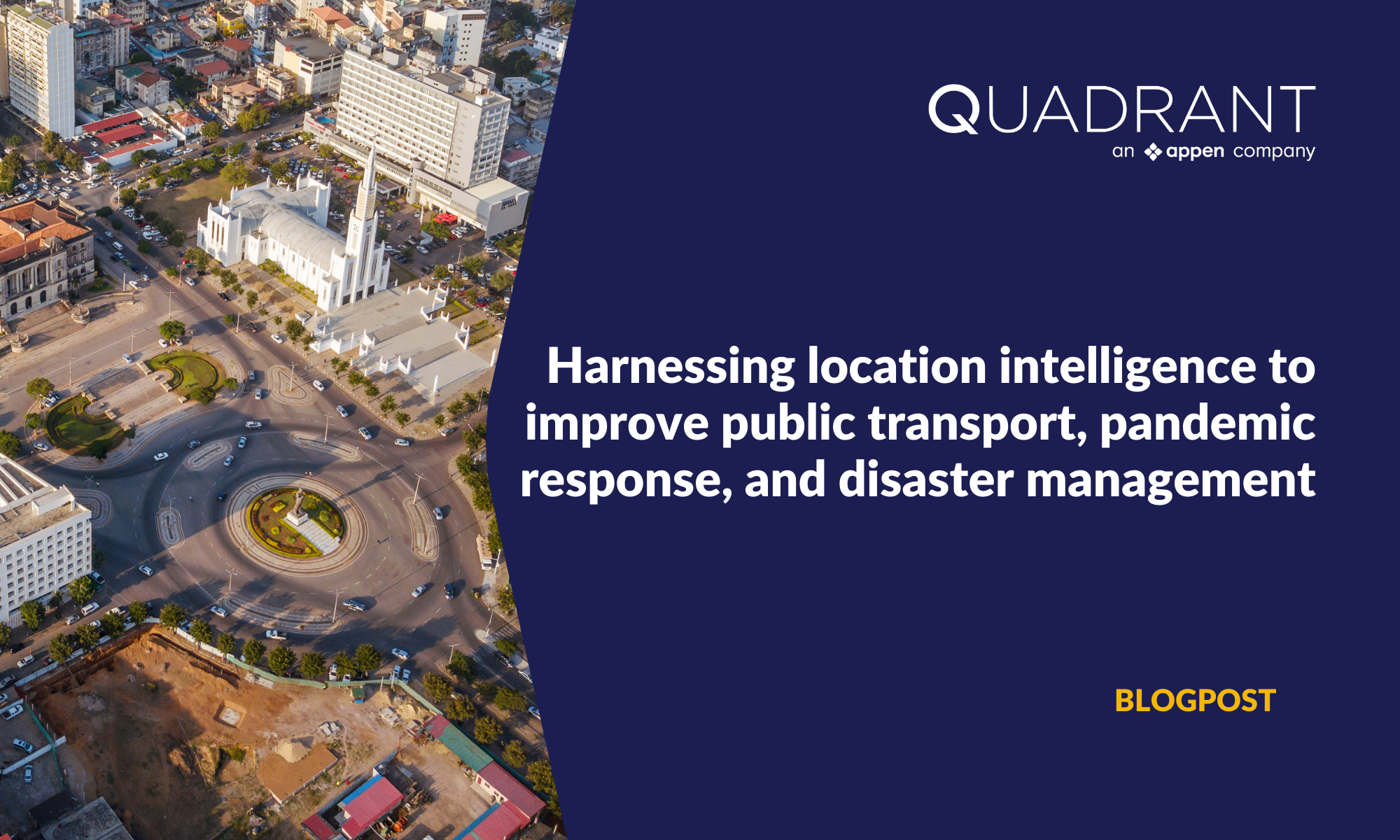
In addition to enabling companies to measure performance and drive growth, location intelligence plays a key role in addressing socio-economic problems. Researchers from a renowned public research university study mobility patterns using mobile location data to gauge the accessibility and availability of transit services in Maputo – the capital province in Mozambique. Using the insights from their research and analysis, they suggested improvements in the city's transport infrastructure, to expand accessibility of public transit services to underserved areas.

The research team led by led by Dr. Satish Ukkusuri (PhD) who is a Riley Professor of Civil Engineering leveraged mobile location data to unearth several Maputo-specific public transportation insights. Such insights included trip generation and attraction zones, congestion on corridors, and mode of travel – findings that were facilitated by generating O-D Matrices and POI visitation analyses. They highlighted locations that have poor access to and availability of transit services such as metros, railways, buses, and ferries. They also identified areas with high footfall to better represent transit demands and the relative ease or difficulty associated with travelling to various POIs.
The team harnessed location intelligence as a contextual layer to their POI visitation analysis – which consisted of nine distinct categories. Combined with additional datasets like census data, poverty maps, infrastructure and road networks, administrative boundaries, etc, mobility data allowed them to highlight how access to different modes of transportation varied across distinct socio-economic groups. The researchers also determined the volume of transit trips during peak travel times to discern the ease of travel for different groups. These analyses deliver actionable intelligence that can be used to rectify the glaring disparities present in the availability and distribution of transit services in Maputo.
“Quadrant offers excellent coverage in the African continent, which was valuable for us as this data is not readily available with many other data providers. We have combined Quadrant’s location data with several datasets that we work with, and it has benefitted our research and studies. We are happy with our experience. The team at Quadrant is reliable, accommodating, and always open to feedback and we look forward to working with them for our upcoming data requirements”.
Dr. Satish Ukkusuri (PhD)
Here are a few other use cases where the analysis of mobile location data can help address social issues.
Mitigating the spread of infectious diseases like COVID-19
Mobile location data can be acquired for most localities due to the ubiquity of smartphones. The most effective and widespread use of such data in the realm of public health is monitoring the movement patterns of large swathes of people. Indeed, this is a measure that has been adopted by many governments globally in response to the COVID-19 pandemic.
Mobility data can act as an input for Origin-Destination (O-D) matrices – analytical tools that depict the movement of people between different areas. When combined with public health records, O-D analysis can be utilised to estimate the risk of virus transmission between areas with high infection rates and areas with low infection rates.
This knowledge can be used to inform data-driven travel restrictions. Additionally, location intelligence can also be employed to determine the effectiveness of travel restrictions – as was the case in Italy in 2020. Finally, location data from smartphones is also used by some contact tracing applications to inform individuals about potential exposures to others with COVID-19.
Improving disaster management efforts
Natural disasters – such as earthquakes and floods – cause significant damage to infrastructure, including residential areas, commercial buildings, and roads. As such, it causes many people in highly impacted localities to evacuate. Mobility data is used to gauge the extent and distribution of population displacement after natural disasters – as was done by researchers after the Haiti earthquake in 2010 and the Gorkha earthquake in 2015. This knowledge was used to improve the allocation of relief personnel and the situation of vital facilities like evacuation shelters.
Monitoring location intelligence to determine when a significant number of people return to their homes is an indirect yet accurate way of discerning the extent of reconstruction and repair efforts. Moreover, analysing daily movement patterns in the aftermath of natural disasters provides reliable information on sections of the transportation infrastructure that have sustained significant damage. Besides manual verification, this method provides key information to administrators on where to focus their time and resources to restore the regular cadence of activities in a city.
Informing urban planning
The preferences and needs of communities vary across and within cities. Urban planners and city administrators are expected to have a firm grasp of these variables so that they can provide community-centric solutions for urban development. A great way to acquire this information is to analyse mobile location data as people’s movement patterns are solid indicators of their activities and behaviour. If residents of a community are frequently traveling out of their neighbourhood or city to visit an outdoor recreational facility, that gives city planners an impetus to develop such a facility closer to where these citizens reside.
Location intelligence is a fair indicator of population density and distribution. When combined with publicly available information on the presence of hospitals, transit networks, and schools, planners can use this information to provide better access to healthcare, public transport, and education to underserved communities.


