April 21, 2022 Preview: The big book of Point-of-Interest data use cases Point-of-Interest (POI) data is the digital representation of physical spaces that are of interest... Read More
March 3, 2022 How bad POI data is costing your business Point-of-Interest (POI) data is the foundation for digital maps that enable on-demand service... Read More
February 21, 2022 Geolancer and the role of big data in Augmented and Virtual Reality For several millennia, human beings have delved into alternative realities to entertain themselves... Read More
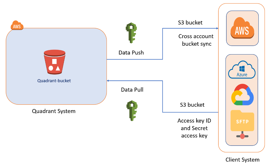
April 22, 2021 Methods of Data Delivery for Mobile Location Data One factor to consider while evaluating location data for purchase is data delivery. Storage costs... Read More
April 14, 2021 Buying POI Data: Best Practices for Vendor Selection High-quality Point-of-Interest (POI) data is the backbone of all location-based businesses and... Read More
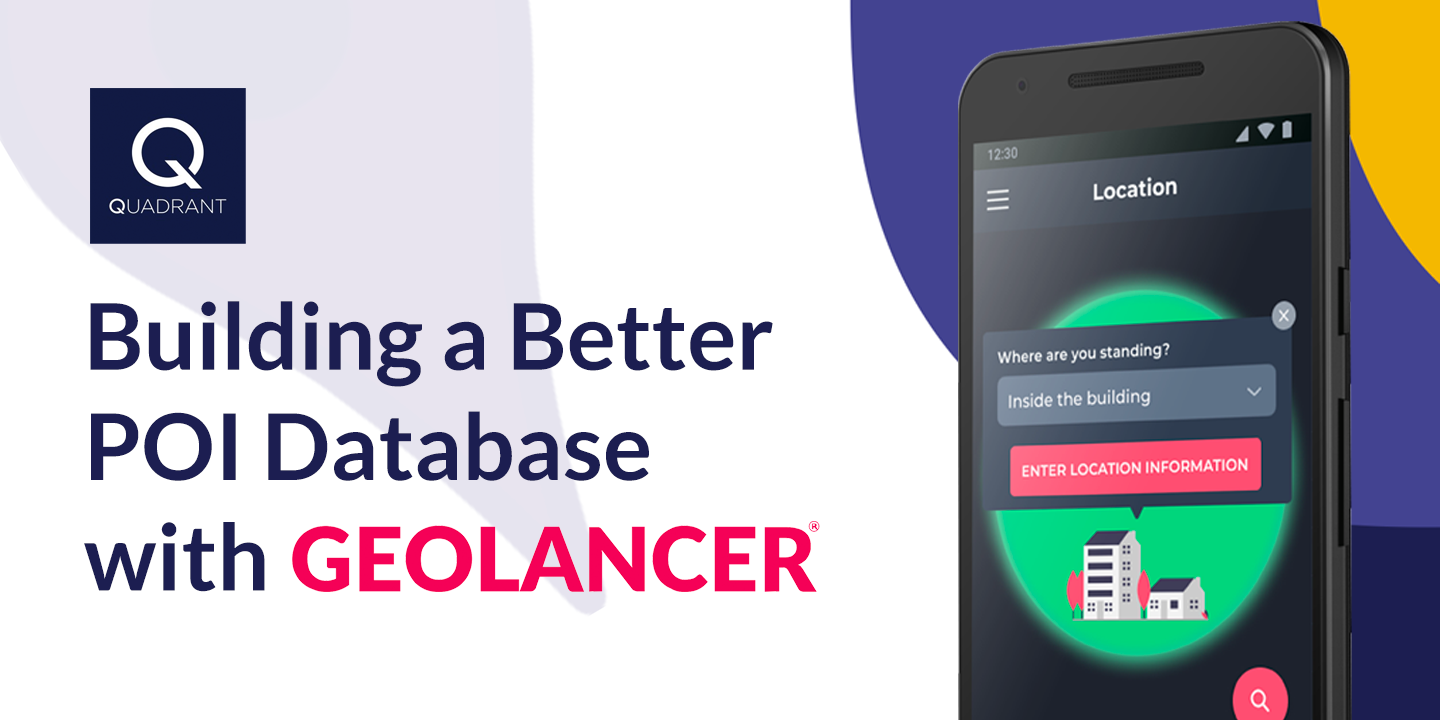
March 16, 2021 Building a Better POI Database with Geolancer Point-of-Interest (POI) data is critical in many sectors of the economy. Businesses and customers... Read More
March 12, 2021 Combining mobile location & POI data to derive actionable intelligence Location intelligence has revolutionised the way companies establish, operate and expand their... Read More
February 16, 2021 Quadrant launches POI Data-as-a-Service Quadrant, a global leader in location data and intelligence solutions, is delighted to announce its... Read More


.png)