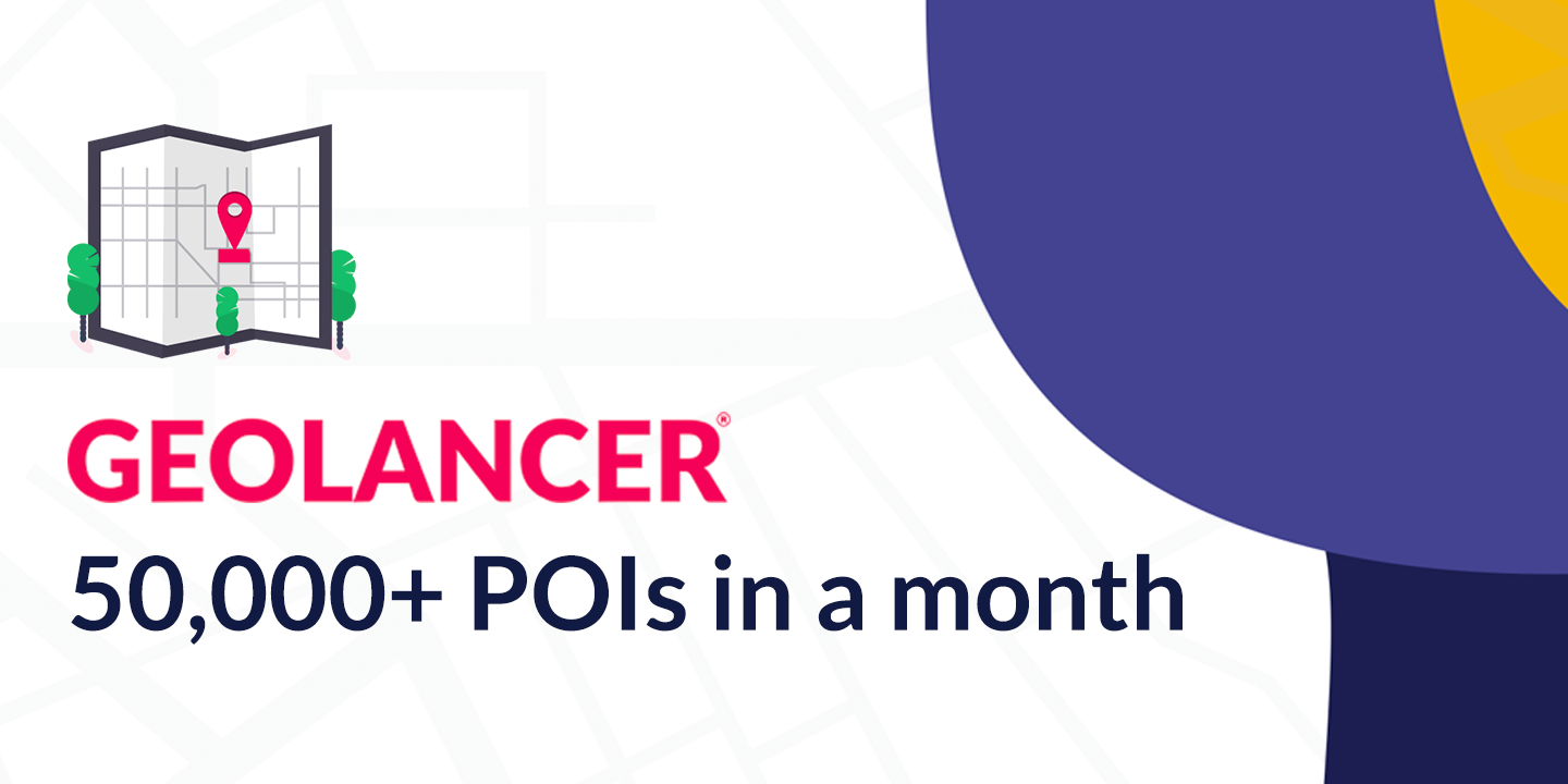
June 17, 2021 Geolancer launch yields 50,000+ POIs in a month across APAC Geolancer, one of our biggest launches of the year, is the cornerstone of our long-term POI data... Read More
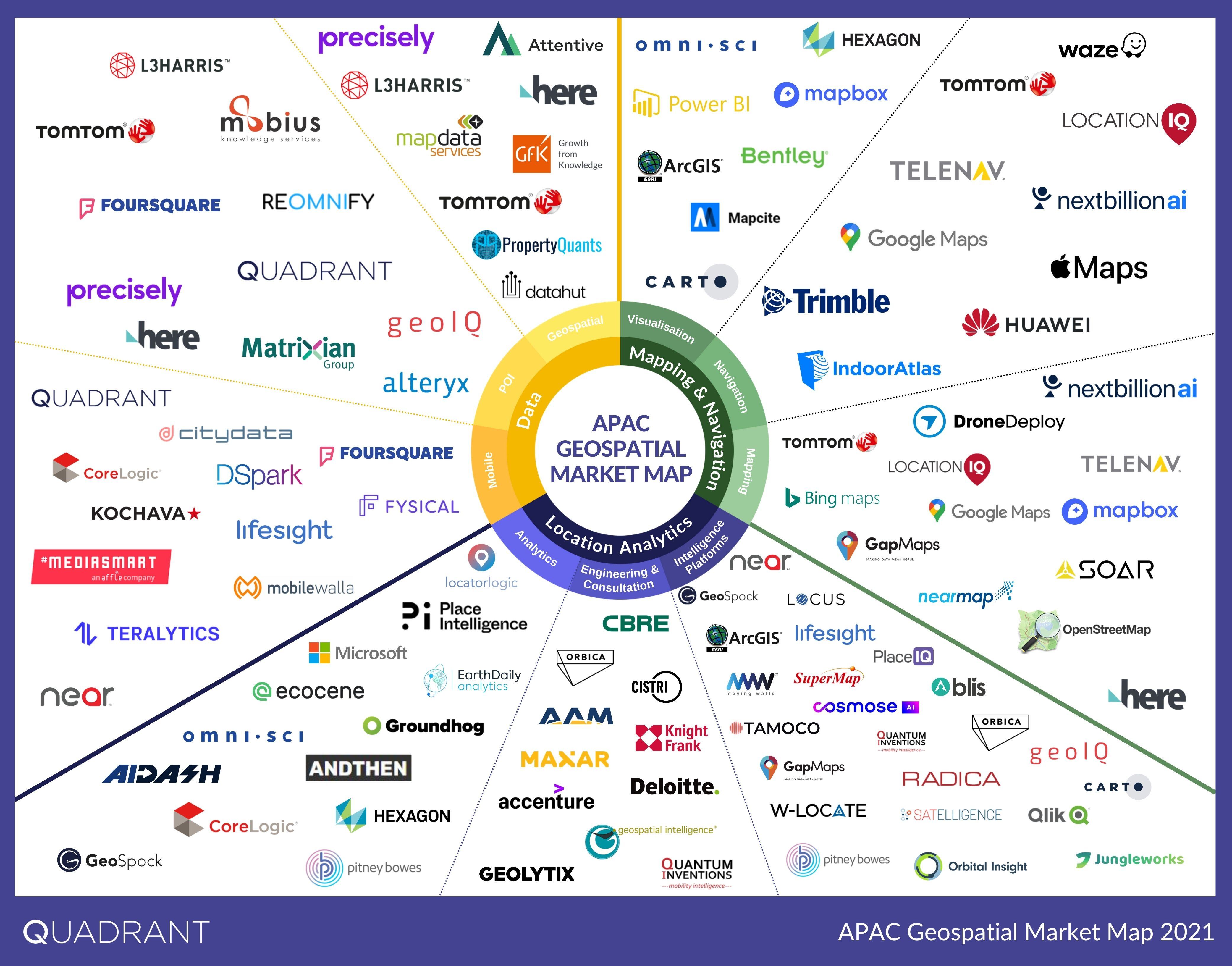
June 14, 2021 Geospatial Market Map for APAC - 2021 The intricate web of connected devices and applications produces a lot of location data. Used in... Read More
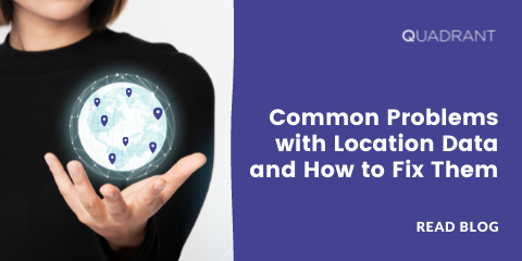
May 27, 2021 Common Problems With Location Data and How to Fix Them Geospatial data have the potential to uncover valuable insights about the physical world. It can be... Read More
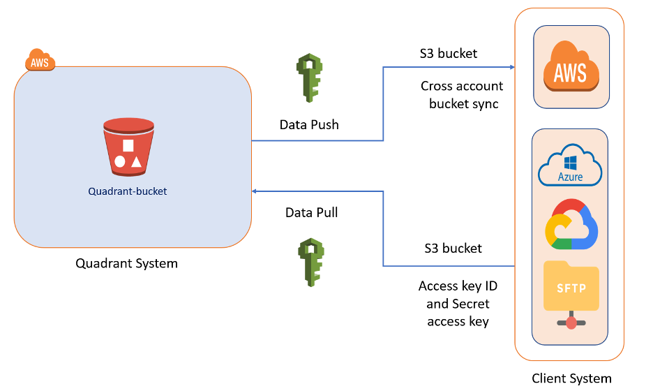
April 22, 2021 Methods of Data Delivery for Mobile Location Data One factor to consider while evaluating location data for purchase is data delivery. Storage costs... Read More
April 14, 2021 Buying POI Data: Best Practices for Vendor Selection High-quality Point-of-Interest (POI) data is the backbone of all location-based businesses and... Read More
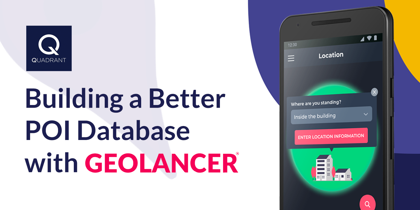
March 16, 2021 Building a Better POI Database with Geolancer Point-of-Interest (POI) data is critical in many sectors of the economy. Businesses and customers... Read More
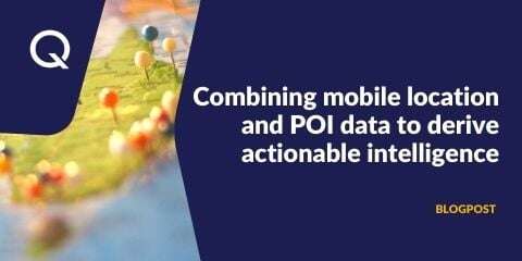
March 12, 2021 Combining mobile location & POI data to derive actionable intelligence Location intelligence has revolutionised the way companies establish, operate and expand their... Read More
March 11, 2021 Transparent Data Practices in a Privacy Conscious World In the last eight years, the public discourse and the regulatory environment around privacy have... Read More
March 2, 2021 Achieving Optimal Location Data Quality with Deduplication and Noise Filtering A few weeks ago, we discussed the seven most important parameters for data buyers to consider... Read More
February 16, 2021 Quadrant launches POI Data-as-a-Service Quadrant, a global leader in location data and intelligence solutions, is delighted to announce its... Read More


.png)